

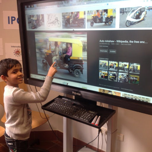
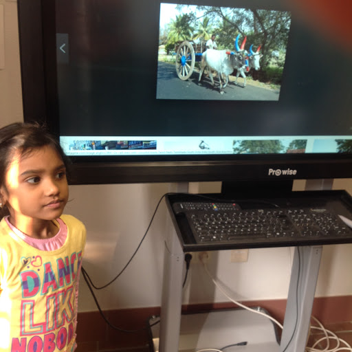
Following on from last week's work in IPC, we completed our International Task and discussed types of transport the children use in their home country. Many forms of transport were the same of course, but our students from India were very excited to talk about and show us pictures of a tuk tuk and an ox cart.
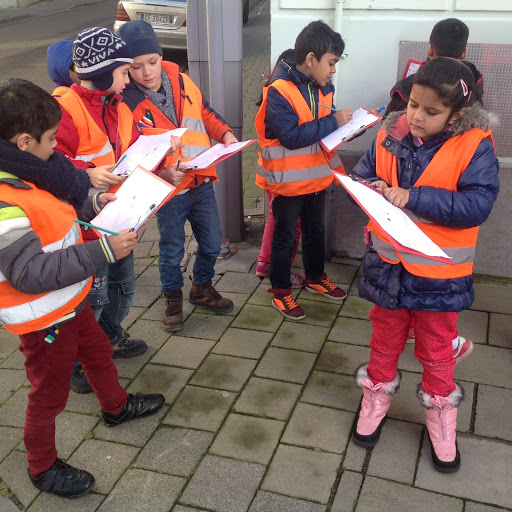
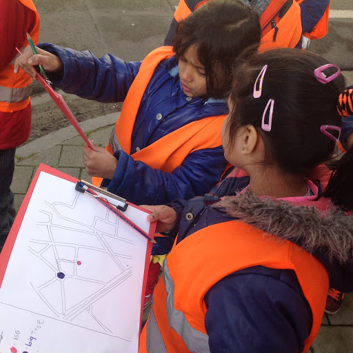
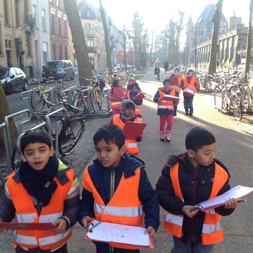
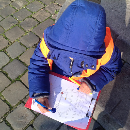
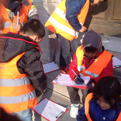
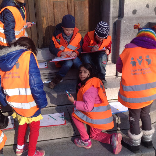
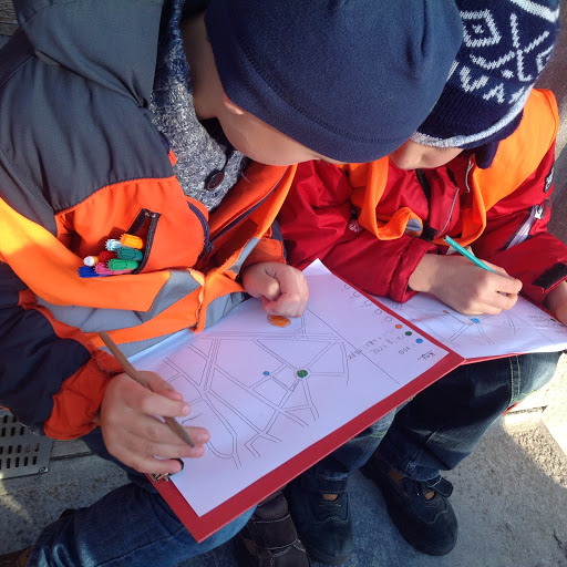
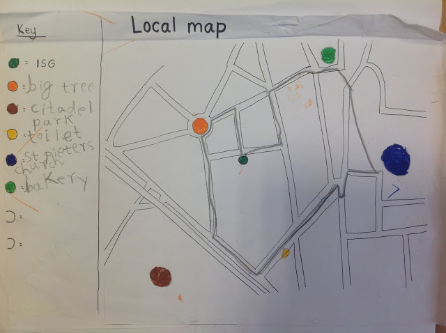
On Tuesday we started our next mapping activity. We were learning how to follow a simple map and locate and add features. We had a local map of the streets surrounding the school. As we walked, the children recorded on their maps where we were going and we practiced a lot of language to do with direction. Using a simple colour coded key we added features like the Citadel park, St Pieters church, a bakery etc. It was challenging, very cold, but fun!
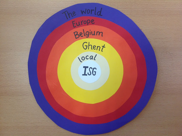
So far we had worked with a local map of the area around ISG, a map of Ghent to discuss the way we come to school and our next map was of Belgium!
Looking at Google Earth we used symbols this time to add geographical features and also to indicate the 3 linguistic areas of Belgium!
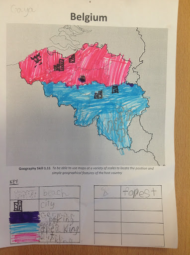
The children are very excited about doing this same activity for homework next week about their home country!
For maths this week we have been focusing on measurement - weighing things using grams (Year 2's also did kilograms). The children loved doing a practical activity involving estimating how much something weighs before weighing it, and also finding items that were as a close as a possible to given weights.
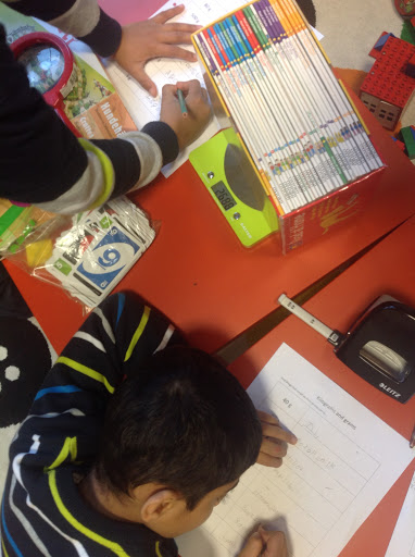
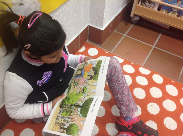
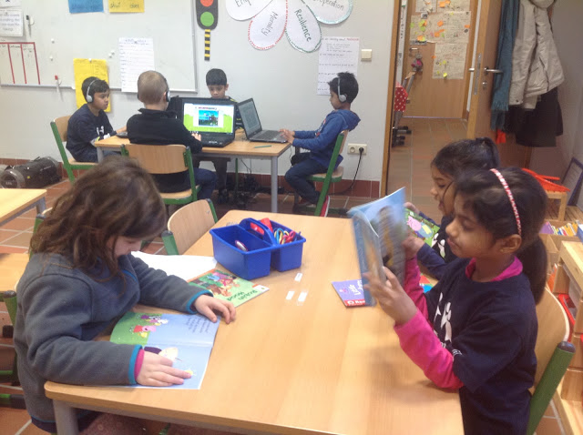
We continue to read a lot in the Lower Primary class as well. This week we read Book 3 of the Magic Treehouse series which took us on an adventure to Ancient Egypt. It is great to see how excited and immersed the children are in the books and they are now interested to learn more about hieroglyph's, the pyramids, tombs and mummies! Here are some photos taken during our reading rotation time.
Have a good weekend everyone!